Data Acquisition, Processing and Interpretation
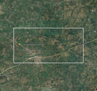
For this interpretation, high-resolution aeromagnetic data from Saki-west Oyo state was combined with other data sets, including a geology map and an elevation map of the region. The aeromagnetic data’s flight parameters are as follows: flight line spacing of 500m, tie line spacing of 2km, terrain clearance of 80m, flight direction of NW-SE (135°), and tie line direction of NE-SW (45°).
Methodology:
- Desktop Studies (Aeromagnetic data interpretation)
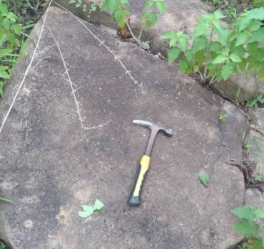
- Geological field mapping- the geological field mapping involved the mapping/gridding of the license area with a spacing of 20m and 900 bearing moving west east.
- Sample collection.

GEOPHYSICAL METHODS AND INTERPRETATION
The investigation was carried out by applying the Induced Polarization (IP) method.
Goals of the investigation were to:
- Collect and interpret qualitatively and quantitatively data of the area inside their exploration license and/or designated area.
- Indicate the existence of structures potentially hosting mineralization, and their respective geometrical characteristics including width, length, and depth.
- Determine the structural movement of the vein and the host rock in view of the further activities and proposed mining activity.
- Propose additional investigations where necessary.
The integration of all the geophysical data and its derived products allowed a regional assessment on mineralization potential. Some potentially mineralized areas have been recognized in the map sheet, which indicates the presence of potential host rock.
Geological Investigation/ Field Mapping
Geochemical Sampling/ Geophysical Survey
Data interpretation
Result/ Recommendation
Final Results
We recommend proceeding and conducting thorough evaluations, and embracing an adaptive approach to capitalize on this unexpected but promising discovery.

